|
|
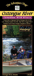
Oxtongue River 1:30,000 (Ontario)ISBN: 9780929140575Author: Chrismar Mapping This 1:30,000 scale map of the Oxtongue River area covers the river itself from Oxtongue Lake in the west to Canoe and Smoke Lakes in Algonquin Park to the east. WATERPROOF, TOPOGRAPHIC, DETAILED INFO GUIDE, UTM GRID |
World Of Maps.com
Established 1994 - "For the Love of Travel and Maps." - Ottawa, Ontario
Call Customer Service toll free: 1-800-214-8524